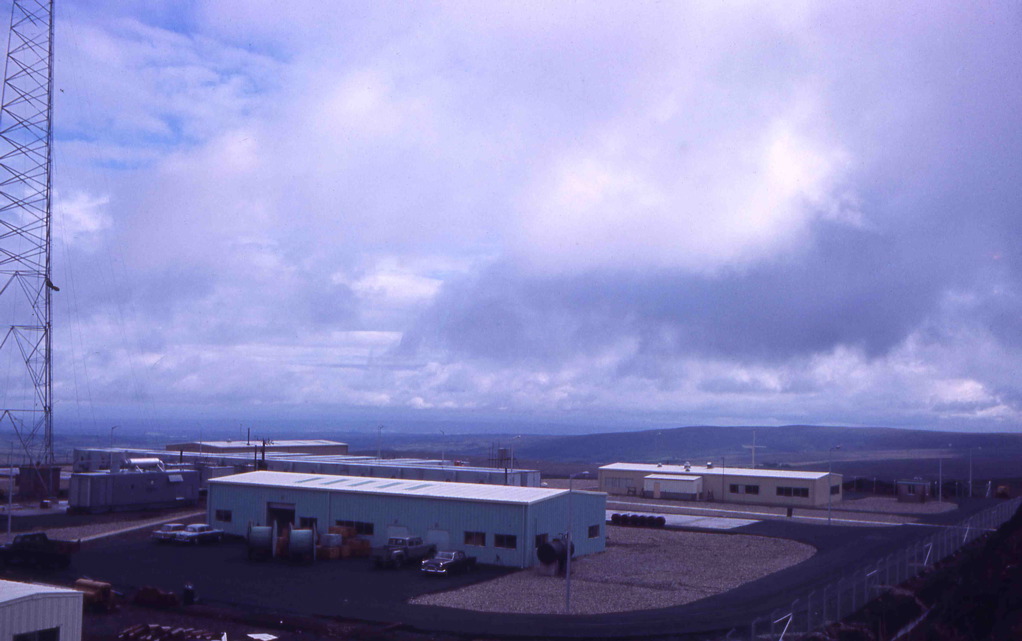
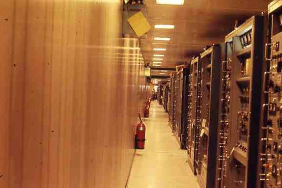
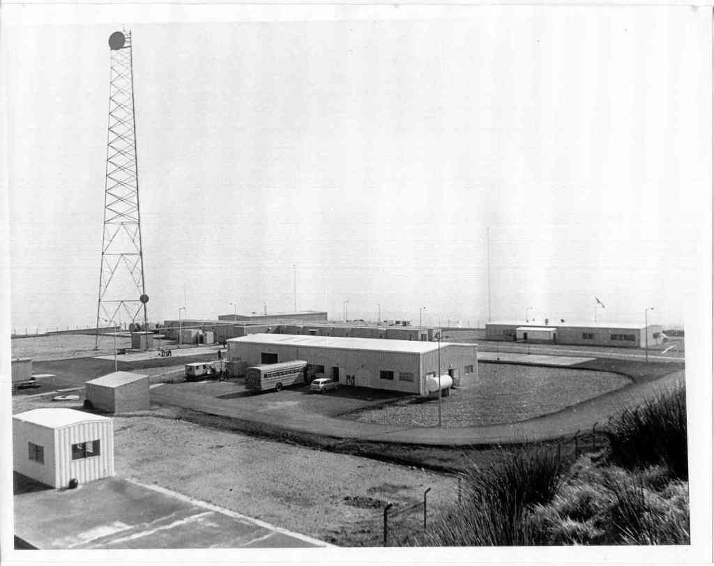
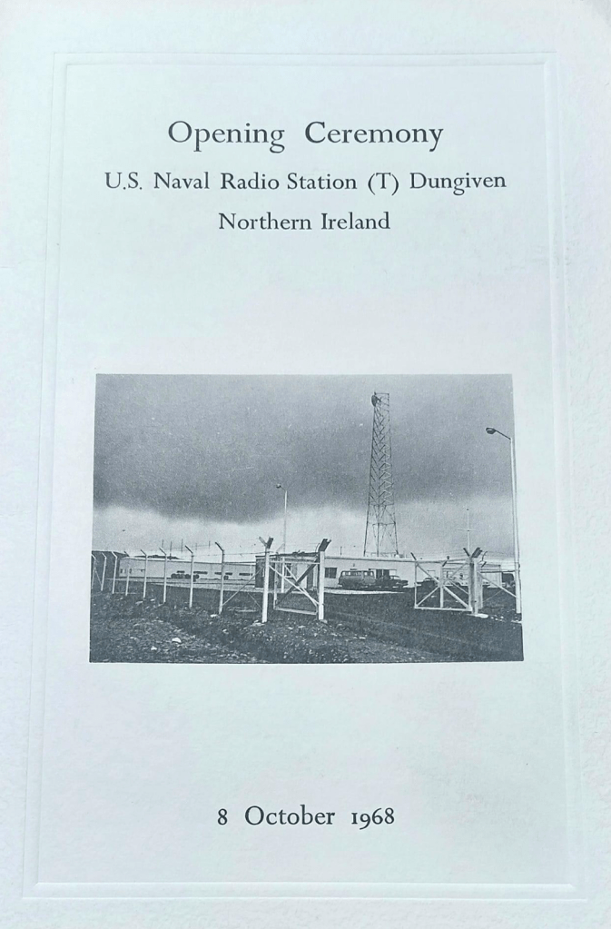
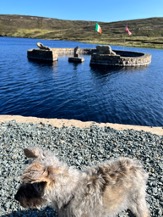
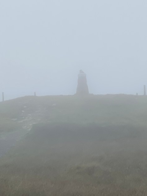
I have climbed Benbradagh on many occasions as it is our local hill, and in more recent times to activate it for Summits On The Air (SOTA). It will always however remain etched on my brain as the American mountain. When our family returned to Dungiven in the late 60’s the American listening station had just been built and there were Americans at our wee school, Dungiven County Primary! This caused a big stir as we were exposed to toys and gadgets about 10yrs before they appeared in the UK. Our family owned Dungiven Post Office which was also a Newsagents. Every morning an American Naval Officer called in at 8am on his way to the NavCommsSta from the main Station in the Waterside Londonderry. My father got to know him well as did I although I was only 8 yrs old! we delivered telegrams to the station (years later I reflect on how odd that was – telegrams to a top secret listening station!!) The officer was Lt Jack Butrovich III, (my father nicknamed him butterwitch)
6 years ago I was doing some research on the station and the Lieutenant and found an article in Short Wave Magazine, March 1969 (via Google and world radio history) which was a radio amateur publication from the 1930’s up to 2005.
It stated ” More two -metre operation in GI. A letter from Lt. Butrovich III of the U.S. Navy advises that he is just about ready to come on two -metre SSB from a 1,350ft. a.s.l. site on Benbradagh, County Londonderry, approximately four miles from Dungiven. His Stateside call is W6GQJ and the British one GI5ALP. The site is clear to the East and South East and so he should be able to put a reasonable signal into some parts of this country. For skeds, write to him at Box 60, U.S. Navcommsta, Londonderry. Welcome aboard, John.”
There was 1 further article in July 1969. ” John Butrovich, GI5ALP, whose advent on two metres was noticed in ” VHF Bands ” for March 1969, is now active from Londonderry on SSB and CW. So far he has had eight two-way SSB contacts, the best DX being G3CCH (Scunthorpe) at 275 miles, with signal strengths up to S8 at times. The gear consists of an HW-100 on 14 mc, through a Swan transverter running at 240 watts p.e.p. input. The antenna is an 8/8 slot -fed array at 35ft. above the ground (which is 1300ft. a.s.l.) and he is considering going to a 20 -ele collinear array to get greater capture area. He would like to run skeds, and says that any time 0400-0600z would be OK. (What’s the matter, John, can’t you sleep?) QTH, U.S. Naval Radio Station, Dungiven, Co. Londonderry, N. Ireland.”
So unknown to my 9 year old self there was an Amateur in Dungiven who I had talked to on many occasions!! My immediate thoughts were – how could I get his call sign? Some time later when I started to look into this I decided to apply to Ofcom for the call and was issued GI5ALP in 2023.
In January 2024 I headed to the summit to use GI5ALP for the first time. Many stations were worked from Northern Ireland, GB, Ireland, Europe and the Ukraine. Unfortunately no-one from the US, but Undoubtably the highlight was a summit to summit with the RSGB President John McCullagh GB4RS (GI4BWM) on Divis mountain in Belfast, who amazingly also knew Lt Jack but had actually worked him on 2m as a radio amateur!
63 contacts were made using GI5ALP approximately 50 years since its last airing on Benbradagh on VHF and HF bands using CW, SSB & FM modes.
A US Navy operator at the station on Benbradagh in 1968 was required to pass tests in Morse code at 36 wpm reception and 26 wpm transmission!!
John ‘Jack’ Butrovich III USN(Ret), LT, passed away April 13, 2013 at age 80 in Corpus Christi, TX.
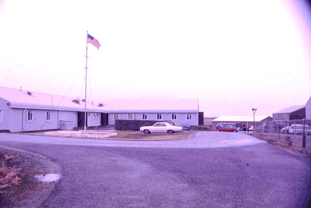
Lieutenant Butrovitch receives the Stars and Stripes
Arranmore Island is situated in the Atlantic ocean off the West Coast of Ireland in Co Donegal. It’s the largest inhabited Irish Coastal Island with a population of 500 (holiday population is 1000 so to see it at its best go during term time). It’s part of the Gaeltacht with 2/3 of the population being native Ulster Irish Speakers. Access to the Island is from Burtonport via the Blue Ferry Service and the Red Ferry Service. Booking for a camper van involves phoning instead of a simple book by app as size comes into consideration and the cost is £60 return.
When we arrived at the port after a very pleasant run from Dungiven through Co Donegal (70 miles, 1 hr 50mins, we continued to battle the chasers looking to contact Nobby MM0UKI on Rockall and I was lucky to get through on the mobile as we waited in the harbour. Despite me asking him to take a call from Ian the request wasn’t picked up due to the “over exuberance” of other callers. (Ian did manage to make contact when we returned home.)
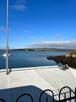
The seawall at Burtonport out to Arranmore Lifeboat and new RNLI station
After a short wait which we used to walk the dogs, the very pleasant and helpful ferry team “packed” all the vehicles themselves so that every inch of space is used. I had booked to allow for a trike carrier which we didn’t actually bring but as is turned out wouldn’t have fitted as when the ferry ramp was closed it was touching the bumper of our van in front and the rear was tight against the car behind!
If you are like me and look at the ferry track on google maps and thought this has to be a mistake for this journey as it seems to go through land – there is a very narrow channel between smaller islands just off Burtenport that the ferry just fits through. Indeed, the company’s newly commissioned ferry is being specially built in Scotland as new standard builds for Calmac are too wide.
The weather was amazing (clear blue skies) which made for amazing colours on the sea as we travelled over. One of the ferrymen kindly pointed out various landmarks on the wee-er islands and gave us some information that we hadn’t expected – all the major roads on the island had just been tarmacked – so all the potholed journeys we had expected were not to be. After following his instructions and getting through some very narrow junctions with the campervan we arrived at the start for our walk up to Cluidaniller West Top (Cnoc an Iolair mullach thiar) (Hill of the Eagle) which I will just call Arranmore for easiness of writing!
Most of you are familiar with the SOTA program – Summits on the Air – but for those of you who aren’t: every Marilyn around the world in participating countries can be climbed for points (10 for the highest, 1 for the lowest) to be gained by the activators and chasers both. Arranmore has a reference EI/IN-092, 1 point. WABers and WAIers are important chasers for us as they often guarantee the 4 contacts needed for the points.
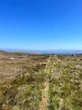
The start of the walk at Loch Namock Approaching the summit cairn
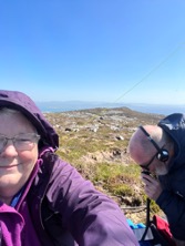
So it was beautiful sunshine when we left the camper but there was a very strong breeze which made it quite cool so Poppy and Roxy were left in the van to sleep. They are 14 and 15yrs old now so get cold on summits even with coats and blankets. Trig point baggers will realise that the main tracks to the summit go to the East top where the trig is but this isn’t the true summit which is the west top where we were heading. (The dip of more than 25m between the 2 tops means the trigpoint is ineligible for SOTA). For about half a mile there is a cart track and then when you see the summit cairn just head for that over patchy heather and rocks. It’s a gentle climb but very awkward for unstable knees. On arrival at the cairn we set up the gear. HF – KX2, 5-10 W, linked dipole for 20m and 40m. VHF is FT60 4W hand held, Tactical antenna for UHF/VHF and a portable 2m beam as we had arranged a few skeds with Phil EI9KA on Minaun EI/IW-035 on Achill with 2m – at nearly 100miles this would be a really good contact! After a summit to summit with Martin on GW/NW -041 on 40m whose spot we had just noticed we went to 2m and had a few contacts with local ops and John GI4OSF in Ballymoney. We had a chat with Phil on Achill on both VHF and UHF so success! After getting enough contacts on 2m and 70cms to qualify I moved to 40m SSB and CW to get a total of 30 contacts including WABers G0FVH, G0FEX, 2R0FLW and fellow SOTA ops EI6FR, F/G0WML and G4OBK. Ian tackled 20m but it wasn’t as productive. We then took time for a snack and photos before heading off the hill.
Amazing views from the cairnSmall loch on the summitAiming for Achill 100 miles SW
A small hill with amazing views out over the Atlantic and fantastic take off for our radios. 1 mile (1.6 k) return with only 36m height to climb (20mins with all our radio gear and my dodgy knees!).
KX2Our recorded TrackIan with tactical Antenna20m operatingHeading back
That evening as we sat at the Beaver Island Monument which is in Lough Shore drinking a glass of wine watching the sunset there was a very interesting discussion on the SOTA reflector about the use of EJ prefix for Irish Amateurs on Irish Islands which got very heated- suffice as to say I was just glad we chose the correct option!
Beaver Island Monument, Loch ShoreOvernight view from the vanLough Shore
The following day after a leisurely breakfast and dog walk we headed down to the light house which is perched above the cliffs on the northwest of the island on a promontory that isn’t the most northerly nor the most westerly but 2nd best! We had come here to activate Arranmore Cliffs for the WWFF programme. A more beautiful place than you could ever imagine!
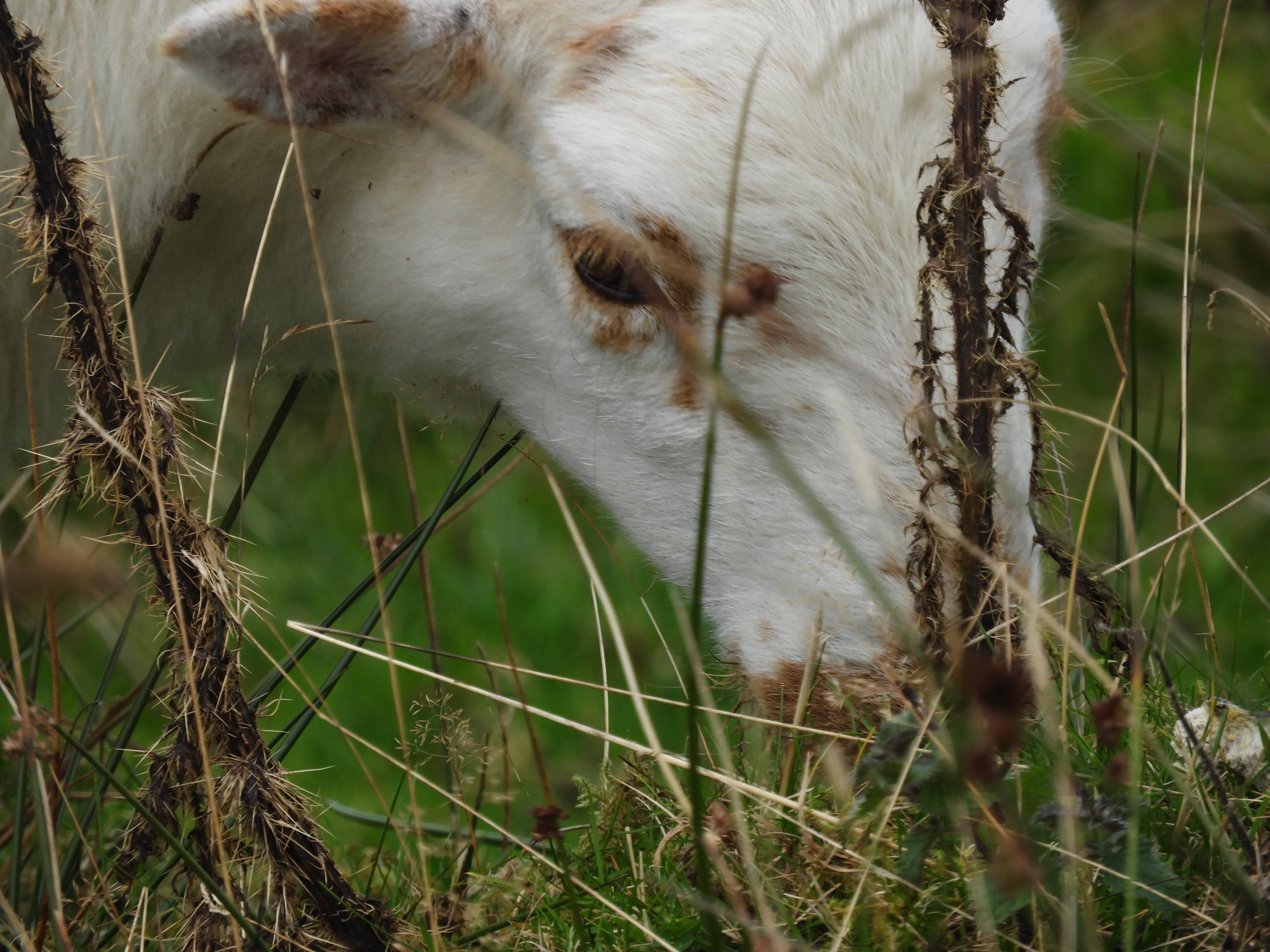
The light house is locked up with a high wall and gate – disappointing as there is a geocache beyond the wall. There are a set of steps at the wall that go down the cliffs to the sea very steep, slippery and dangerous! There is also a ruined coast guard station occupied by sheep and up the hill a WW2 Eire 75 sign to warn pilots that they were over neutral Ireland.
View over the CliffsAs we drove to the lighthouseParked up in the SAC
With WWFF activations researching the activation location is very important but Arranmore cliffs was reasonably easy as the boundary comes up to the road and there are several places where you can pull over as there are few fences on this side of the island – just be careful of the sheep and sheep **it.
Conditions weren’t great but by lunchtime there were over 50 in the log so we packed up and headed to the south of the island for lunch at another amazing viewpoint before heading down to the ferry port. On the way we passed 3 schools including a secondary school – surprising for an island of this size, but we discovered later when chatting to the ferryman that because it is a Gaeltacht children come from the Mainland to be taught in Irish.
The ferry was leaving at 3pm so we arrived at the port slightly early but in plenty of time for a post activation ice cream. Not quite the quality of “Pinkerton’s Shap” but delicious all the same! The same operation took place at the ferry with the crew packing in as many cars as they could with spaces for the walking teachers and schoolchildren going home. (in termtime the 3pm ferry is really 3:20pm to let the kids get home!) Again, we travelled under amazing blue skies but there was much more of a swell on this return journey.
Arranmore is an Island I would visit again – breathtakingly beautiful scenery all easily accessible. Not as much to do in term time if you are into eating out/trad music but in holiday time there seems to be something on every day and a Country Music festival in August #keephercountry!
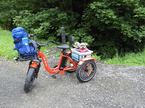
Well – it’s been a while but I’m back climbing hills again! That is almost as I now rely on 3 wheels and not 4 and not 2 legs for walking! My last SOTA was in October 2019 in England, Cleeve Hill which is a drive on with a very short walk to the trig. Since 2018 that has been the only type I could do due to illness. However last week I bought a mountain trike so that I could try some of the longer “walks” and Mullaghcarn was to be the test.
The weather was rubbish – forecast said sun but rain it was and wind and fog! We arrived at the start point and got everything off loaded including the mountain dog and her sidekick couch potato.
Ian bought his bike as well so with the dogs in their box and the gear all on the trike we set off.
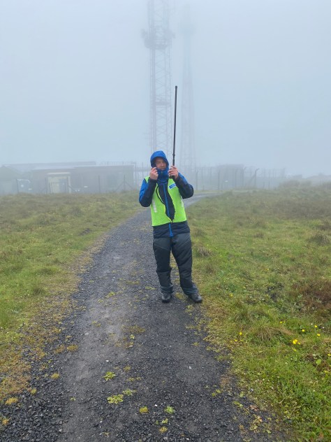
Unfortunately the rain got heavier as we climbed and the wind stronger. There were points where the steepness of the track was nearly too much for the trike and, as I’m not yet well enough to pedal much to assist, I had to get off and use the walk assist but we got there in the end.
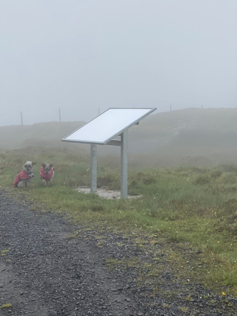
Once at the top the wind was really strong and the rain was driving hard so we tried to activate on the lee side but found we needed to go over to the trig point to get that final bit of height and clearance.
Ian got 6 contacts on 2m (Eddie, EI6GOB/M in addition to my log below) and I got 5. we tried Steve, MI0KXT on 70cms but weren’t able to make a contact. Many thanks to Victor, Eddie, Steve, Jack, Robert and John.
13:17
GI4ONL
144MHz
FM
13:27
GI4LVC
144MHz
FM
13:28
MI0GDO
144MHz
FM
13:29
2I0FMN
144MHz
FM
13:32
MI0KXT
144MHz
FM
Log
At this point the dogs were saying “let’s go” so we decided to pack up and head down as the rain was starting to saturate everything and there was no sign of the sun!
On returning to the camper van we had a cup of coffee and some sandwiches and the dogs enjoyed a yoghurt biscuit!
A big big thank you to Ian for being so supportive in getting me back out on the hills again!
Today – 14-07-18 Ian and I headed out to Donegal to climb Binnion in North Donegal. It’s a 1 pointer but had never been activated before. I had been looking at this one for the past year but took a closer look at it when I got the Irish Ordinance survey map for Donegal. The track that I could see faintly on satellite maps was clearly marked but didn’t go all the way to the summit. We were able to park up at Annagh Upper with permission from the land owner from whom we also got permission to take our dogs up as there were no sheep on the hill at the moment.
We went up the lane past 2 cottages with my now usual odd Irish farmer sighting – this time at the clothes line in his PJs and wellie boots taking down the washing as “the rain’s coming”. We had been told by the landowner to go through the gate and when we came to the dipper (sheep dip) to turn right across the field to the track which would take us to the summit. The track was like the Giants Road in the Narnia tale “The Silver Chair” – I couldn’t see over the sides it was that deep into the mountain side – Ian thought it was a dried-up river bed! At this stage we lost the dog leads somewhere! After 3/4 mile we turned turn east to head for the summit. There is another track that goes further round to the left around the final summit area and I think either would do. As we climbed the wind off the Atlantic got stronger and stronger, so we stopped just below the summit plateau at 246m. I had texted Victor GI4ONL earlier and he was our first contact on 2m. We tried for an S2S with David on Slievelamigan GI/MM-006 but couldn’t hear him. VHF was poor with Ian just getting 3 on 2m and I got none on 70cms. We got the long wire set up despite the wind and I saw that David was on 40m but couldn’t hear him again – much too close this time! As I was moving up the band listening for a clear frequency I heard Andy, G7SQW on a GFF so called in and exchanged 59 59 reports. I then spotted on 7.106 and managed 8 more on 40m starting with Phil G4OBK.
Time
Call
Band
Mode
Notes
13:05z
GI4ONL
144MHz
FM
s59 r57
13:27z
G7SQW
7MHz
FM
s59 r59
13:31z
G4OBK
7MHz
FM
s59 r43
13:33z
ON4FI
7MHz
SSB
s59 r57
13:34z
EA2CKX
7MHz
SSB
s59 r52
13:38z
G1OCN
7MHz
SSB
s59 r44
13:40z
G0RQL
7MHz
SSB
s55 r52
13:41z
G4OOE
7MHz
SSB
s59 r33
13:41z
GW4VPX
7MHz
SSB
s55 r55
13:55z
G0FEX
7MHz
SSB
s59 r58
We then took some time around the summit taking photographs and videos before packing up and heading back to the landy.
Today’s Sota was Holywell Hill near Londonderry, GI/SM-022. The approach is from the Irish Republic up the access path to the RTE TV mast. Once at the summit we climbed over the Border fence back into the UK. The trig at the summit is 5 yds inside Northern Ireland – there has been debate over which country it is in. It was a lovely sunny day but there was quite a strong wind and the mast fell over before we even went on air!
We started on 2m an 70cms – calls were slow to start but soon had a S2S with Victor on EI/IN-009 and there were 5 other S2S as well.
It was a very relaxing morning and afternoon and the dogs thoroughly enjoyed it!
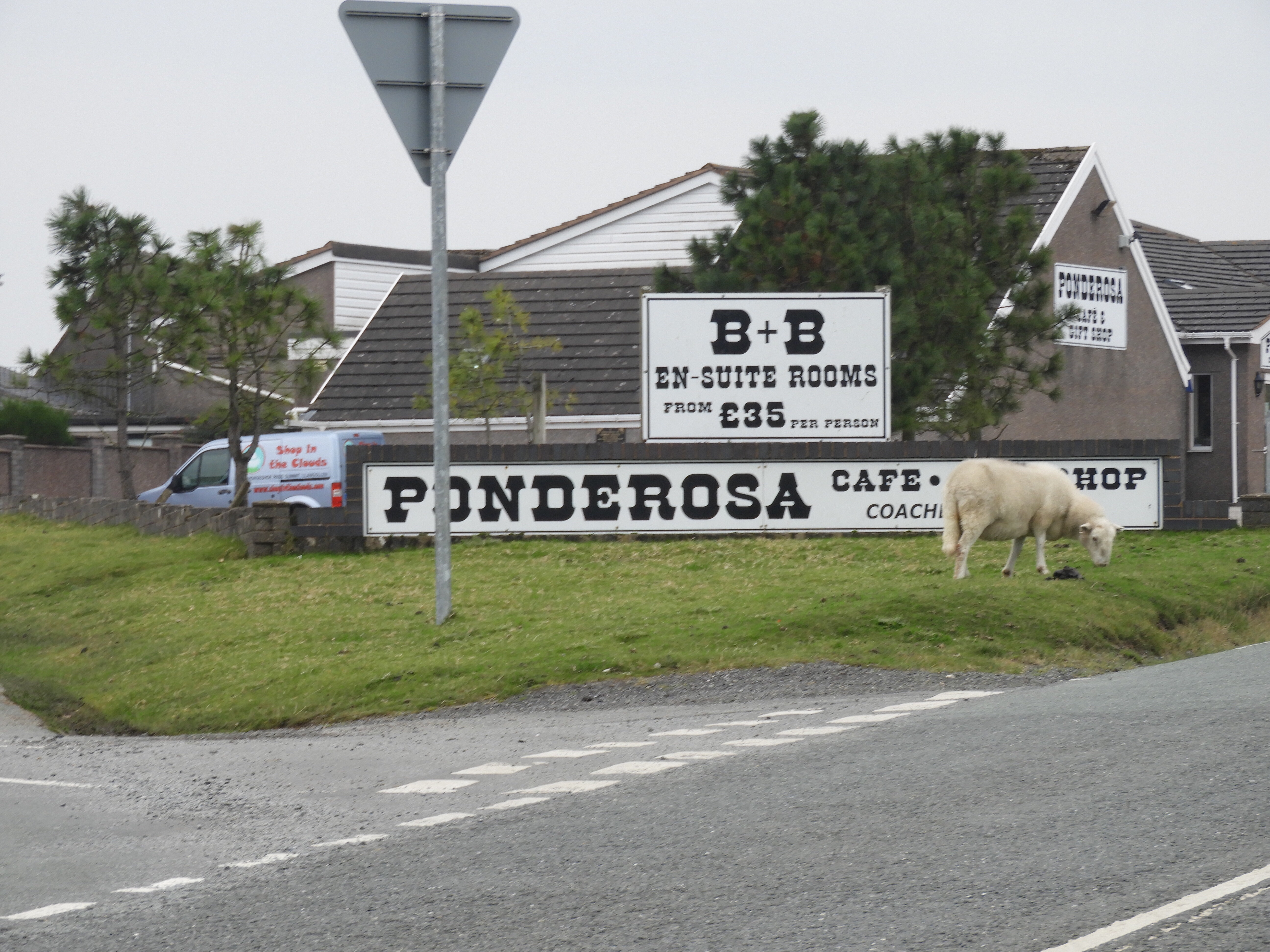
We headed away from my niece’s home to head for the Ponderosa with the intention of maybe trying for both summits accessible from the Horseshoe Pass but as the craic had been mighty with Aenone and Dave we were later away than expected and only managed Cyrn-y-Brain. The Ponderosa was packed out with bikers when we arrived after 11am but we managed to get pulled up on the other side of the road, got our gear on and headed to the shortcut to the track behind the car park.
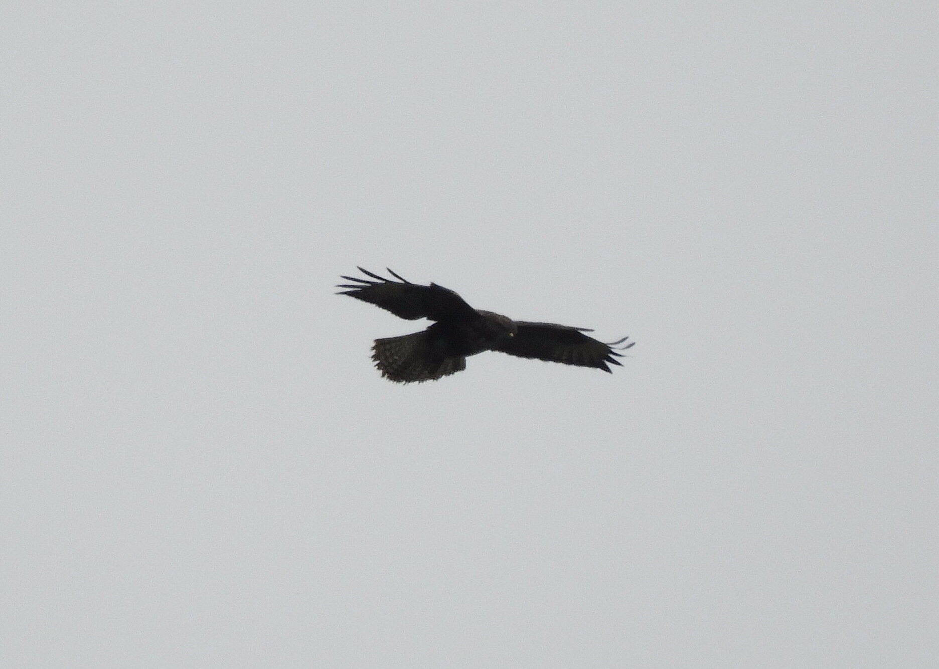
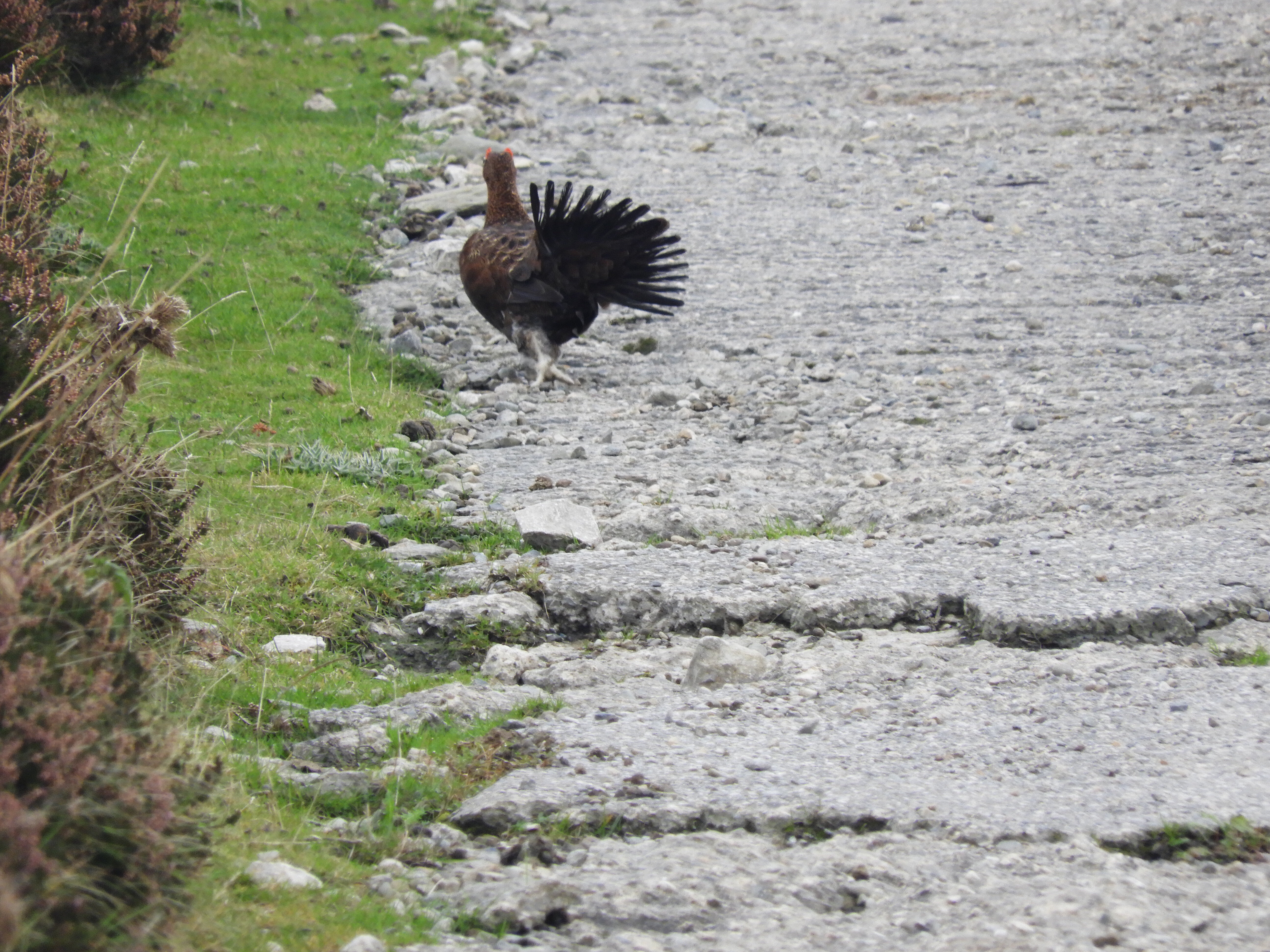
This one has a good track all the way to the summit and we ignored the shortcut through the heather as we get enough of that at home in the Sperrins! We were thoroughly entertained by sheep, birds of prey and grouse on the ascent. At the summit the end fed long wire was quickly set up and I started on 40m and quickly got 4 contacts to claim the points. I moved to 80m and onto the WAB frequency for the usual suspects – Karl, Graham, Geoff and Ken. Ian could not get any contacts on 2m so he took over on HF to get qualified. It transpired later that everyone could hear him but there was a lot of bleed over from the masts. After our coffee (thanks Dave) we took down the hf gear and moved away from the masts staying in the AZ until we could hear replies to our calls. Thankfully both of us qualified with 2m as well. At 3.30pm we started on the road back so as we had our ferry to get we packed up when we got back to the Jeep and headed for Birkenhead. This was to be our last summit in our mini trip to North Wales which saw us reach 100 miles climbing for Leukaemia Research.
After climbing Mullaghclogha GI/SM-002 yesterday I was determined that we would activate Carnanelly today. Ian had already activated this one last year but I was at work that day and now needed this one to complete the Sperrins. We didn’t get away until the afternoon as there was a bogged tractor to pull out of the bottom of the Pump field – I would know how that felt later this afternoon! Mountain dog aka Poppy accompanied us with her sidekick staying at home much to her disgust. We arrived at the start point H68214 94093 Goles Forrest at about 1:30pm. The start was fine along forest tracks but at 1.2 miles we had to set off into the forest along a fire break. First there was a large shough to get over and then the fun started! There was a faint path as this track was used by geocachers to get to the summit but there were fallen trees every 20 yds! This meant that I had to constantly make detours as I couldn’t step over anything more than a foot in height. The moss was amazing in here – our sticks would disappear into apparent solid ground up to their handles which made it very dangerous walking indeed! Unlike our recent summits in England there wasn’t a soul to be seen or voice to be heard – just constant birdsong. After 0.6 mile which seemed to take for ever we emerged onto the hillside and clambered up to the summit – at this point I swore I would never ever be back on this hill and renamed it Carnage. We also didn’t realise that we couldn’t spot ourselves nor could anyone else – thanks to the WAB guys for trying – but it was Victor GI4ONL who got it sorted eventually and we finally got it activated. Many thanks to everyone who contacted us on 2m, 40m and 60m. Just after we arrived it started raining but we stayed after the activation to get revived with coffee, brioche and traybake as a celebration!! We then started the long descent with a few disappearing tricks into bogs and shoughs and arrived back at the Landy at 7:30pm.
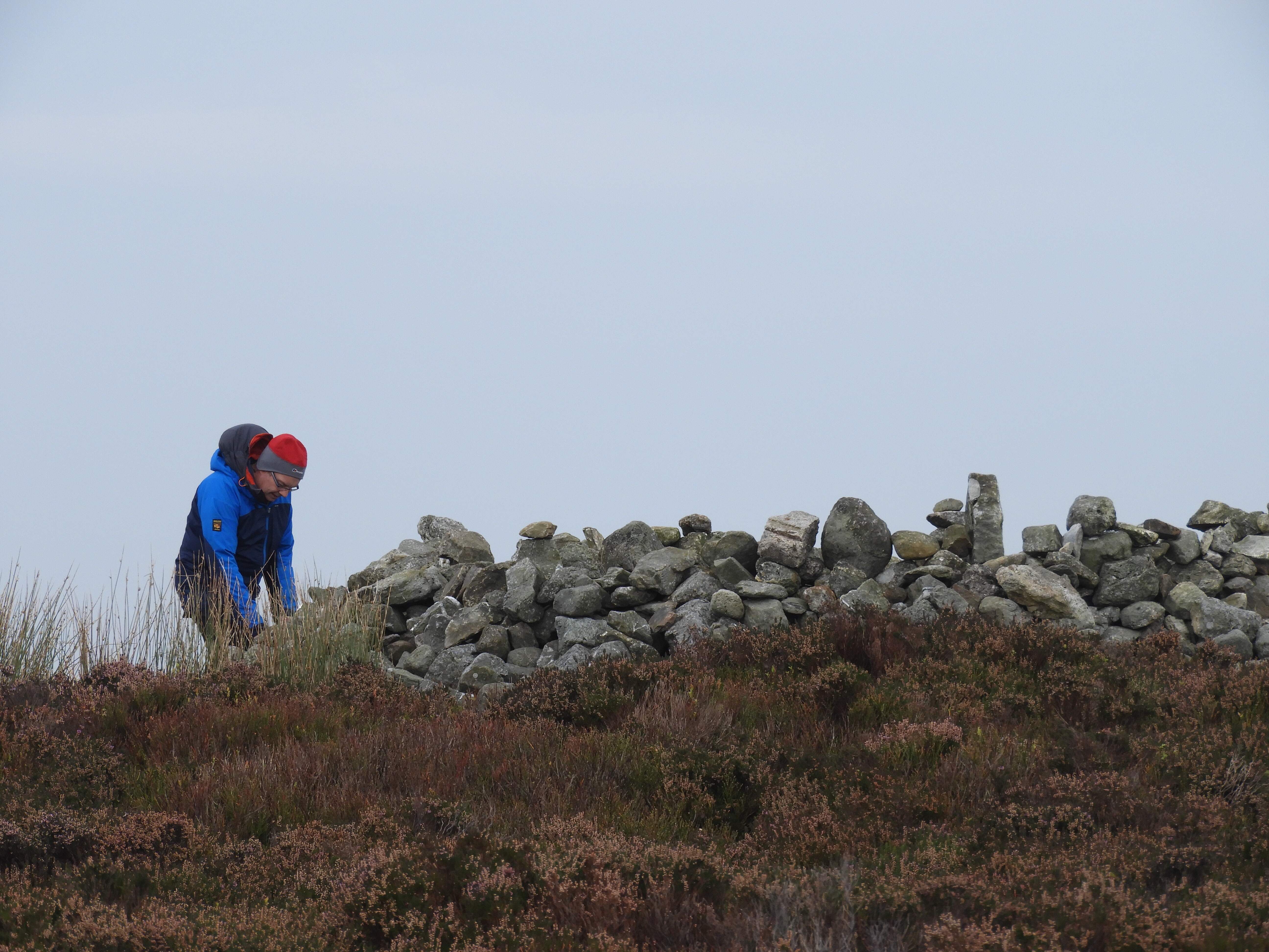
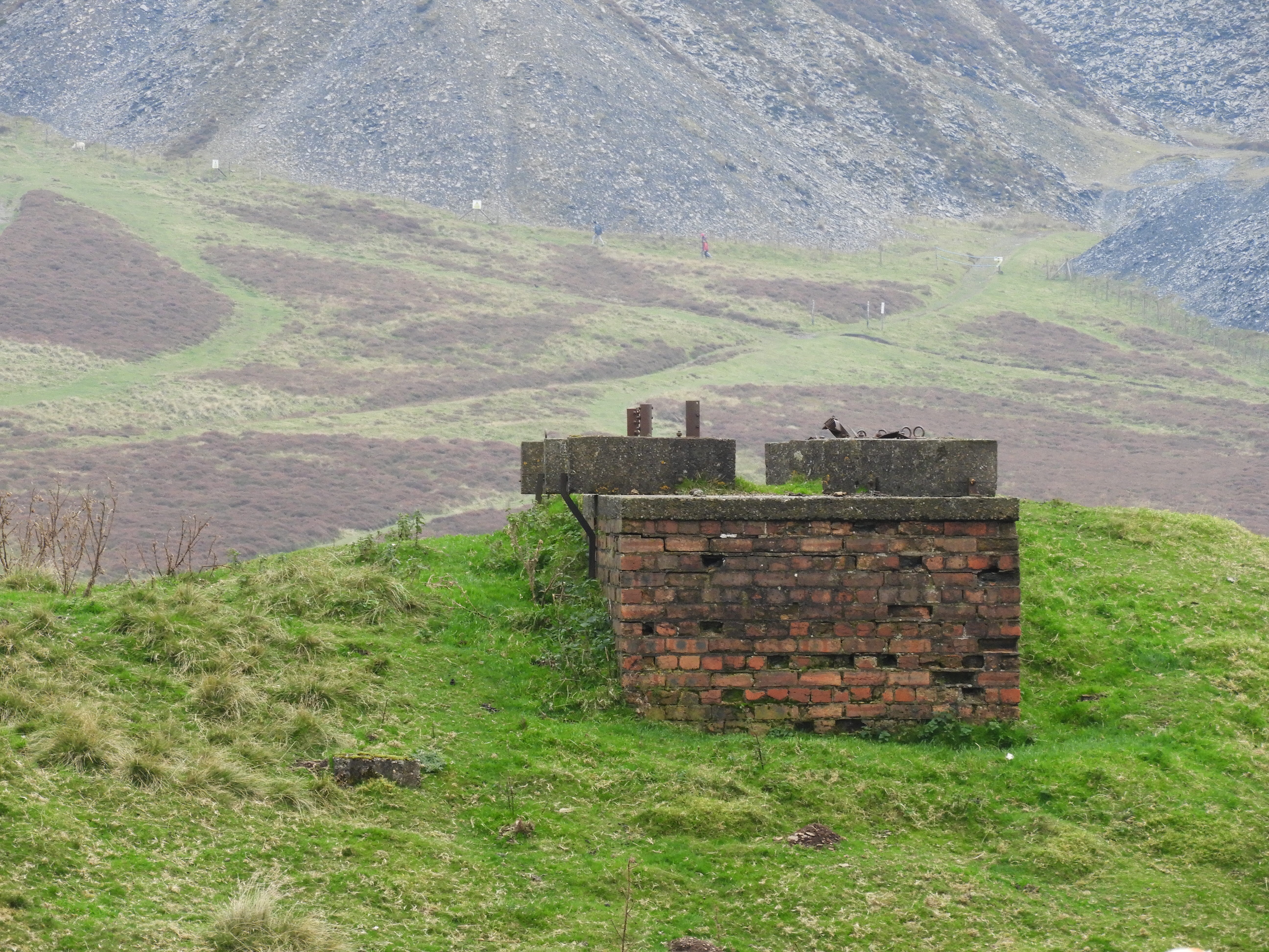
On Easter Saturday I set off at 10am to activate our local SOTA Benbradagh which is 3 miles from our home. There had been showers earlier but the sun had come out just as I left the farm. Mountain dog and her sidekick accompanied me today but I left Ian at home to deal with the boiler engineer! My destination is the top of the Curragh Rd where it meets the old access road to the abandoned US Naval Listening Station C72807 10287. From here its a lovely walk along the old road past many of the concrete blocks to which stays were attached from the masts for the listening station crossing over several gates. At C72448 10947 beside a phone mast continue straight on onto a grass track that will take you to a stile on the left that leads to the final track to the summit. I had decided as this was to be a quick activation before doing Donald’s Hill in the afternoon that it would be VHF only on 2m FM, 70cms FM and DMR.
The following contacts were made:
09:54
144MHz
FM
GI0AZB
Ian
10:00
144MHz
FM
MI0KXT
Steve
10:05
144MHz
FM
MI3PDL
Pat
10:15
433MHz
FM
GI0AZB
10:20
433MHz
FM
MI0KOA
Harry
10:25
433MHz
FM
GI4AHD
Ray
10:40
144MHz
FM
MI0JST
Victor
10:45
144MHz
FM
GM3COX/P
Jack S2S
11:00
433MHz
DMR
GI0AZB
11:05
433MHz
DMR
MI1AIB
No cup of tea on this activation – just straight back to the jeep with the 2 amigos to get ready for Donald’s Hill this afternoon.
On Saturday 3rd December we set off on our first Winter bonus activations, this time accompanied by Steve 2I0VTZ and Mountain Dog of course. Mullaghmore is very close to our home QTH so little travelling today! We parked on the Birren Road next to the access road to the BT site. After gathering up the gear we set off up the access road after clambering over the gate – I had told Ian to bring the stepladder in the Landy as I knew I couldn’t climb the gate!! It was a steady walk up the road – initially heading away from the summit – but then round a horseshoe bend and we were heading for the summit again. Little in the way of wildlife today apart from 2 crows on the ascent and an unidentified bird in the heather on the way down!
Once arriving at the transmitters we had to negotiate the mud around the site to get to the summit. we set up the 2 HF aerials on the one pole – Steve had a linked dipole and I had the end fed long wire. Steve put up his tent as the wind was bitter and we tried out our new tarp as a wind break for which it was excellent. Ian and Steve started on 2m whilst I went on the WAB net on 7.160 and immediately worked Dave G4SQA followed by the following:
1239
7MHz
G4SQA
1242
7MHz
2E0KVJ
1242
7MHz
G4IAR
1243
7MHz
G0RQL
1244
7MHz
MK3FEH
1245
14MHz
G7BGA
1249
14MHz
OE9EGI/P
1309
14MHz
EA2IF
1311
14MHz
EA2DT
1312
14MHz
DL8DXL
1316
14MHz
GI4ONL
1316
14MHz
OK2PDT
1319
14MHz
SP9AMH
1350
14MHz
OF9X
1354
14MHz
GI0IOT
OE9EGI/P provided a S2S for us all. After a lovely cup of tea and a few yoghurt biscuits we packed all up and headed down again. Mountain dog had her coat on at this stage as she was getting cold. We quickly descended and when approaching the Birren Rd debated going for the nearby Geocache but the thoughts of a warm coffee back at the farm won and we were soon heading back into Dungiven.
Many thanks to all our chasers today and to Steve for joining us!
This is one of the smallest summits in the sperrins at just 725ft but one of the most awkward in several respects! It has been notoriously difficult to get access and is very steep. The easiest route is via the access road to the transmitter site but despite all the locals saying that it was a right of way to the top the farmer does not allow any walkers access. There is another route at the north side but Tom (M1EYP)and Jimmy (M0HJY) found that it was barred by impenetrable gorse and a very high barb wire fence. We therefore went directly to Walsh’s Farm and asked permission from the farmer to park on the farmyard and where was best to climb the mountain. In true Northern Ireland form he talked to me out of the bathroom window and we soon found common friends!! He told us to go up the road slightly to start from there as there was a ram in the field who would hit us!
The unfortunate problem with this side is that it is extremely steep and the ground is made up of very sticky clay. However we were on the summit within 40mins and were soon setting up. I worked a few on the WAB net on 40m initially whilst Ian got it activated with 2m. I moved then to another frequency on 40m and got the activation there followed by several on 20m.
No summit to summits today – tried hard with Andy GM8OEG on 40m and 2m but nothing heard. We packed up at 2pm to go and try an EI summit but as it took me so long to get back to the landy we gave up on that for today – the hill is so steep it was too sore on my knees! Thanks to everyone who was in contact today!